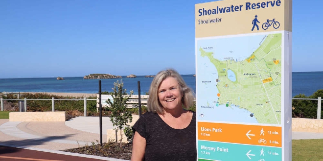
The Safety Bay Shoalwater Foreshore precinct is renowned for its natural beauty and now the coastal experience for both locals and visitors alike will be further enhanced after the City of Rockingham installed new tourism wayfinding signage.
Aligning with the recent completion of the Shoalwater Reserve Activity Node project, the City has installed the information signs at five different locations to help connect some of the area’s most popular locations.
The new pedestrian tourism wayfinding signage is located at Shoalwater Reserve, Lions Park, Mersey Point, The Pond and the Waikiki Foreshore.
The signs include distances in kilometres, plus walking and riding times between each of the five areas.
City of Rockingham Mayor Deb Hamblin said the installation of new tourism signage was an important action in the City’s Tourist Destination Strategy 2019 – 2024.
“The Safety Bay Shoalwater Foreshore area is loved by locals and visitors alike for its unique natural assets. Overlooking the Shoalwater Islands Marine Park, the region embodies why our City is known as the place where the coast comes to life,” Mayor Hamblin said.
“The recently delivered Shoalwater Reserve Activity Node was a key part of the City’s Safety Bay Shoalwater Foreshore Master Plan. The installation of the new wayfinding tourism signage complements the popular activity node project, and will give visitors a clear idea of what to expect when travelling along this unique section of coastline.
“The City is right in the middle of its Rediscover Springtime tourism campaign and encourages anyone who hasn’t yet visited the Safety Bay Shoalwater Foreshore precinct, or the activity node specifically, to come and rediscover Rockingham today.”
For more information on the range of exciting attractions on offer in the City visit rockingham.wa.gov.au/events-culture-and-tourism/visiting-rockingham/tourist-attractions



 Stolen Ford Mustang linked to southern suburbs incidents
 Baldivis: Truck fire forces closure of Kwinana Freeway
 Concerns for missing Baldivis girl
 MARC leisure pool, pirate playground to close for several weeks due to maintenance works
 Petition launched to change new Eastern Foreshore playground due to safety concerns
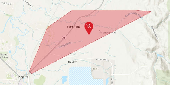 Parts of Pinjarra, Fairbridge without power
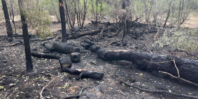 Bouvard scrub fire deemed suspicious
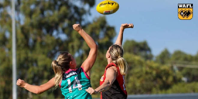 Peel Thunder crush Perth in WAFLW season opener
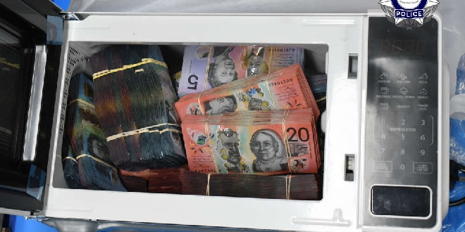 Baldivis man charged after AFP seize haul of cigarettes, vapes, $2.6M cash